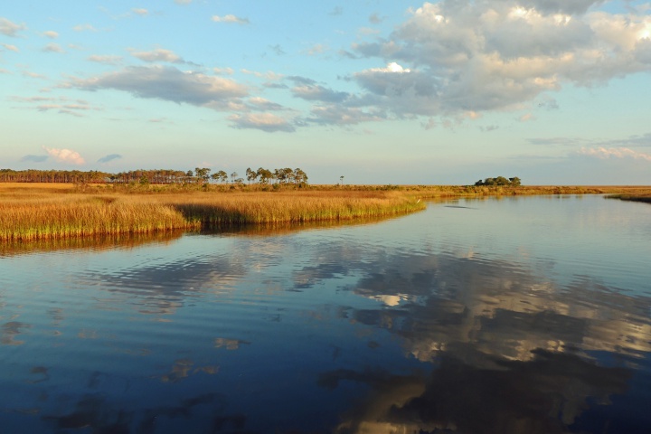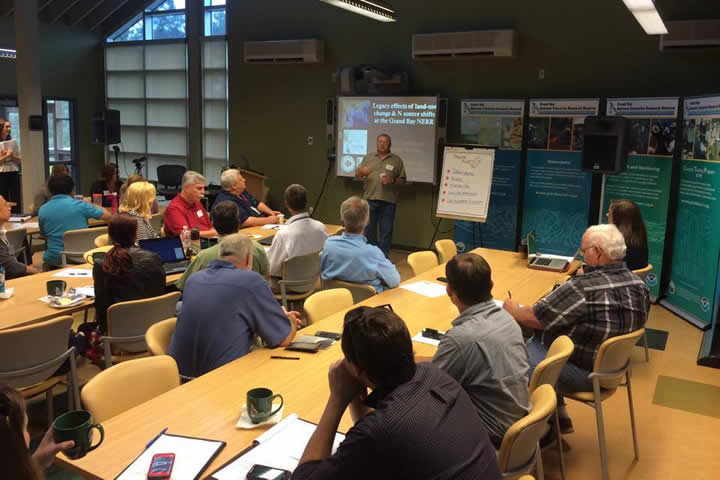
From 2010-2014, the Dauphin Island Sea Lab and the Grand Bay National Estuarine Research Reserve conducted a large-scale, multidisciplinary collaborative project funded by the NERRS Science Collaborative on the Mississippi/Alabama coast. The project improved understanding of the legacy effects of human land-use change on water quality, fisheries resources, and human health in the region. At the culminating workshop, more than 40 stakeholders from local, state and federal agencies and members of the public identified three products of greatest value to end users that could be developed from the project team's research data. These products included: informational packets for ecotour operators and municipal authorities to enhance awareness and education; a webpage to provide the public and management authorities with centralized resources and recommendations to improve water quality; and simple predictive models to demonstrate how changes in land use affect water quality.
In this project, Grand Bay Reserve and Dauphin Island Sea Lab reunited and worked together to meet those needs previously identified by end users. Developing a product package called “Our Wastewater Footprint,” the project team sought to increase awareness of water quality concerns, provide up-to-date data to inform decision making, and prompt the behavior changes needed to protect coastal water quality.