About this resource
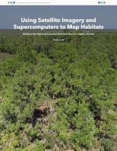
This story map explains mangrove habitat change at the Rookery Bay National Estuarine Research Reserve from 2010-2018, illustrating mangrove damage and recovery from Hurricane Irma. The storymap describes a habitat mapping process developed in partnership with researchers at the University of South Florida that used high-resolution commercial satellite images and advanced high-speed computation to quickly and accurately map mangrove habitat at the 110,000-acre reserve.
This resource was developed as part of a collaborative project that tested a new automated habitat mapping technique at the Rookery Bay Reserve.
Citation
Schmid, Jill. Using Satellite Imagery and Supercomputers to Map Habitats. December 6, 2019.
Referenced Project(s)