This project promotes access to drones for a wider community of users by transferring a protocol for drone-based wetland monitoring and evaluating its efficacy in assessing and monitoring emergent vegetation.
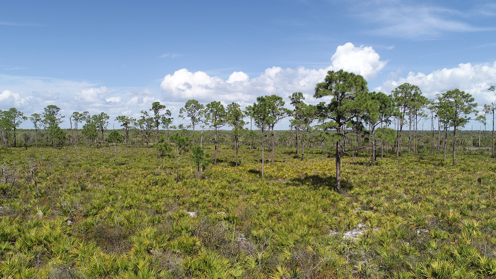
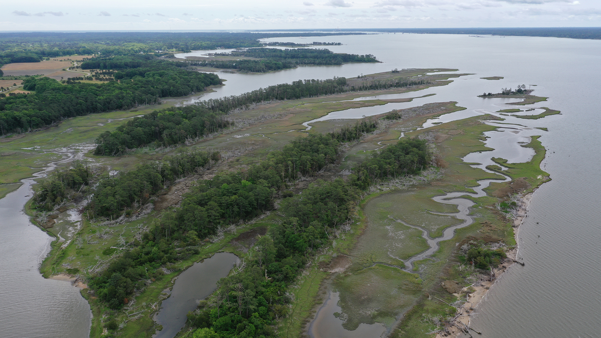
Visualizing changes in emergent vegetation due to stressors such as storm events, climate change, and/or anthropogenic impacts is integral to assessing the health of a wetland ecosystem. Ground-based monitoring–a commonly used method to assess habitat health–is labor intensive, can damage vegetation in sensitive habitats, and can miss key differences in small-scale heterogeneous habitats. Satellite imagery offers solutions to the challenges of labor and potential damage to sensitive habitats but is expensive and sacrifices the high-resolution details needed for small-scale analysis. Uncrewed aerial systems, also known as drones, offer a lower cost, less invasive alternative to traditional ground-based monitoring for emergent vegetation while providing higher resolution images than satellite-based imagery.
“Drone the SWMP,” a previous Science Collaborative catalyst project funded from October 2020 to March 2022, focused on utilizing uncrewed aircraft systems to monitor wetlands in six reserves and the assessment and development of a standardized protocol that includes equipment operation, image processing, and image analysis. The purpose of this project is to transfer the protocol developed during the previous catalyst project, and evaluate the efficacy of this tool for the assessment and monitoring of emergent vegetation in six reserves representing a wider range of biogeographic regions. The team will accomplish this through: 1) each participating reserve utilizing the tool at their long-term wetland monitoring sites; 2) holding a mid-project meeting to compare tool efficacy and identify potential challenges or technical difficulties; 3) troubleshooting technical difficulties; and 4) improving or adjusting the tool as needed. If successful, this tool may be widely adopted by other reserves and users outside of the Reserve System as a low-cost method of coastal wetland monitoring.